

PIVVOT USE CASE
Quickly Analyze Permit Requirements and Assess Environmental Risks
Pivvot Client: Large EPC
Industry: Environmental Services
Job Role: Project Manager
Problem Statement: Create Permit Matrix and Flag Project Risks
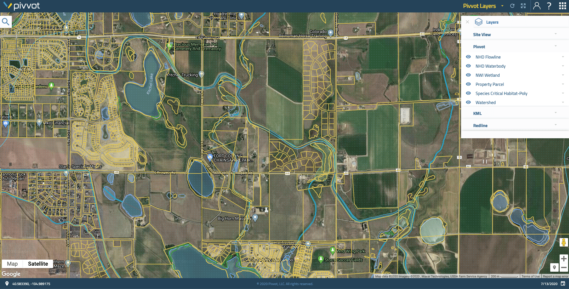
The environmental services group at a large EPC was siting a workspace near an electrical substation. The group was asked to create a permitting matrix for the project as well as flag any potential environmental risks.
Solution: Pivvot Platform
The project manager used Pivvot's data layers and visualization capabilities within the Pivvot platform to conduct a desktop assessment of the area. Within minutes, she was able to see that the project area was in a floodplain, near protected waterbodies, and near a critical species habitat - which would require lengthly permit applications.
Pivvot's project analysis software allows users to drop a location pin, upload a polygon or draw a route on a simple and intuitive map. Users can immediately visualize hundreds of data layers and generate detailed crossing and impact reports for any project area.
Results: Avoided Permits and Project Delays
Armed with this knowledge, she recommended moving the project to a nearby, suitable location that was both outside the floodplain and further from the wetland and critical species habitat. This move reduced the number of permits required (reducing the project schedule) and helped avoid environmental impact risk.
With Pivvot, the EPC is more consistent, accurate and most importantly more efficient. By using Pivvot's desktop analysis, the project manager not only saved time up front on data collection and analysis, but also saw significant savings over the life of the project by avoiding the more complex permitting.
There's more to this story. To learn more about this use case watch our webinar where our client walks through her process step-by-step. To request your own demo or to explore your use case, contact us!