
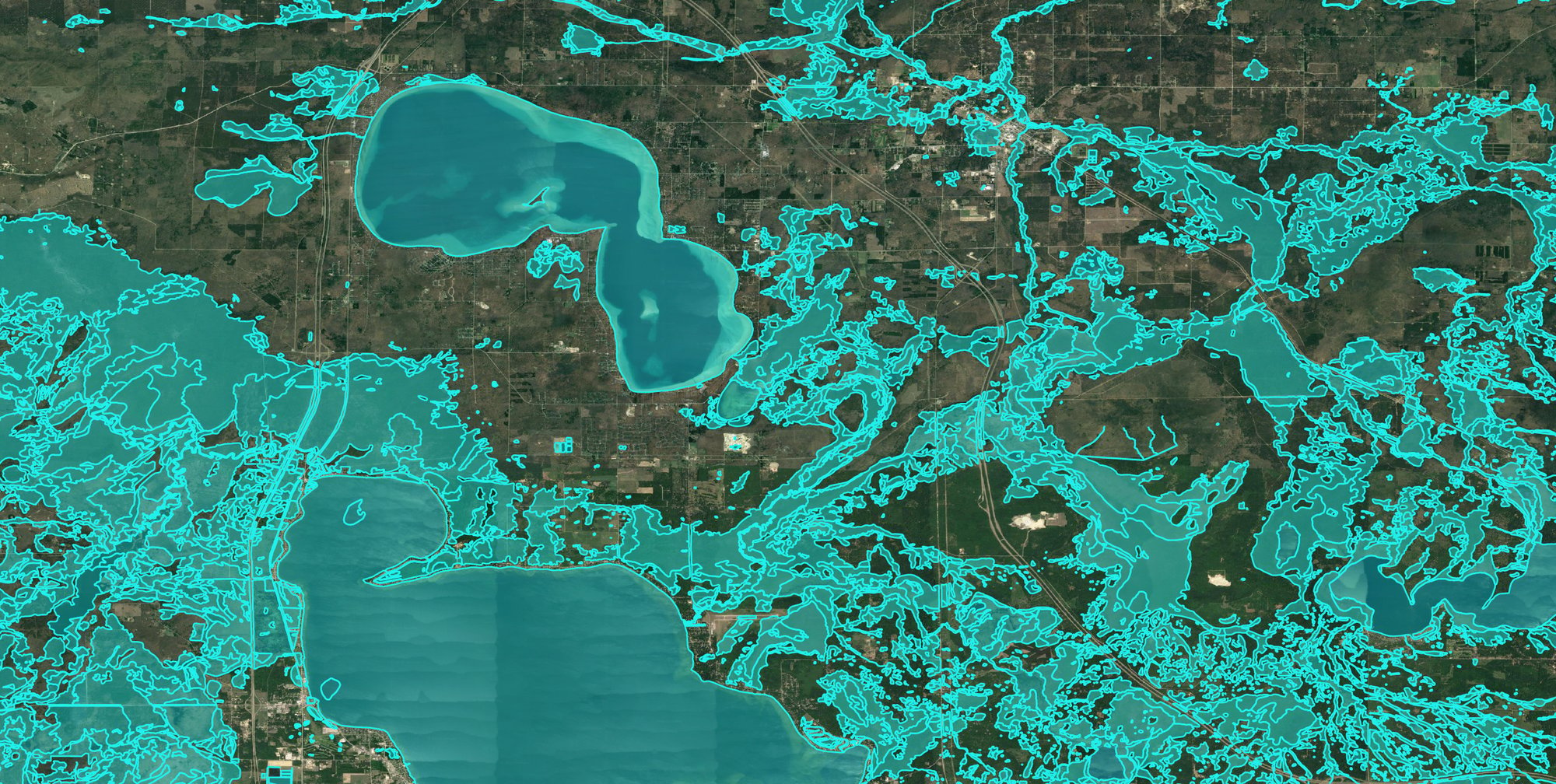
Every site starts with a number. Price per acre, a convenient location, a seller who's ready to move. On paper, it's the low-cost option…and that's exactly why it gets chosen.
Then the project starts, and the real number shows up.
The soil won't hold what the design assumed. A wetland or a protected species turns a six-week permit into a six-month one. A subsurface condition nobody screened for, like karst, uncontrolled fill, or a shallow water table, rewrites the foundation plan after the budget is already approved. The “inexpensive” site quietly becomes one of the most expensive line items in the project. The same goes for infrastructure — a low-cost parcel may still need utility extensions, roadway improvements, power upgrades, or water and wastewater capacity that weren't obvious in the initial review.
Here's the part that's easy to miss: none of those surprises were actually surprises. The information existed. It just wasn't in front of the team when the initial project decisions were made.
The data is free. The decision isn't.
When you're evaluating a site, it's tempting to lean on whatever public data is quickest to pull. It's free, it's available, and it feels like enough.
But free and public data was rarely built for the decision you're using it for. It's often outdated, aggregated to a scale that hides the detail that matters, or missing the site-specific context that determines whether a project pencils out. It’s quite likely you're not saving money by leaning on it, you're just deferring the cost. And deferred costs compound. A risk you catch during screening is a line you cross off a list. The same risk caught during design is a change order. Caught during construction, it's a crisis.
That's the real cost of free data: it doesn't show up on the invoice. It shows up in the schedule, the budget overrun, and the project that should never have broken ground on that parcel in the first place.
Screen for risk before you commit, not after
The fix isn't more data. It's the right data, early, and applied consistently across every site you're comparing so you're weighing true cost, not sticker price.
That's where Pivvot’s data changes the math. Instead of running down individual sources site by site, you screen candidate sites against the environmental, regulatory, and infrastructure factors that drive project risk in one place, using the same criteria for every option on the table. The site that looked low cost and the site that looked expensive can trade places once you see what the data reveals.The goal isn't to replace the geotechnical investigation or the environmental study. It's to make sure you spend that deeper diligence on the sites that earn it and walk away from the ones that would have cost you later, before they can derail your schedule and budget.
Backed by 60 years of ground truth and gathered data
Pivvot is part of Terracon, an employee-owned engineering and environmental consulting firm with more than 60 years of experience — and the data behind it — supporting projects where site-related risks carry real cost and schedule consequences. That perspective covers both sides of the equation: the site selection decisions being made today, and the design, permitting, and construction realities that follow.
Because a low-cost site is only low-cost if it stays that way through design, permitting, and construction. Knowing what your site contains is how you protect the preconstruction phase — so your design works on the site you chose, and your estimates and schedules are backed by data you can trust. That's what sets a project up to be built the way it was planned and budgeted.
See what your potential location is really carrying.
Request a demo, and provide us an address or location in the notes. When we meet, we'll show your team the data Pivvot can provide.